
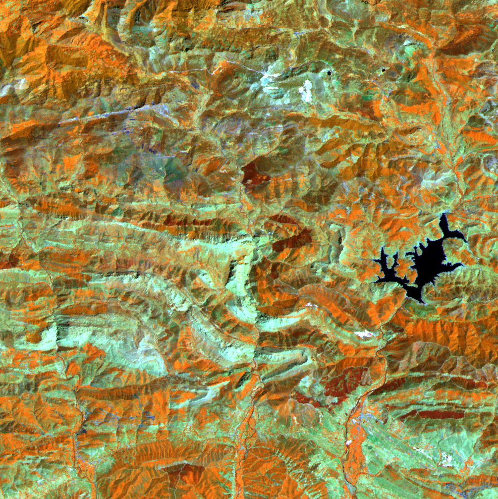
TERRA-ASTER cartography 2004-2006
Testing TERRA-ASTER imagery for land use recognition, image processing and orthorectificacion, and thematic and spatial error study by means of ROC curve and neighbourhood analysis.
Quick links
Partners
Latest news
XI Jornadas Abiertas de Villasviejas del Tamuja
30 September 2019
Noche Europea de los Investigadores 2019
30 September 2019
XVIII Congreso de la Asociación Española de Teledetección
30 September 2019