Books
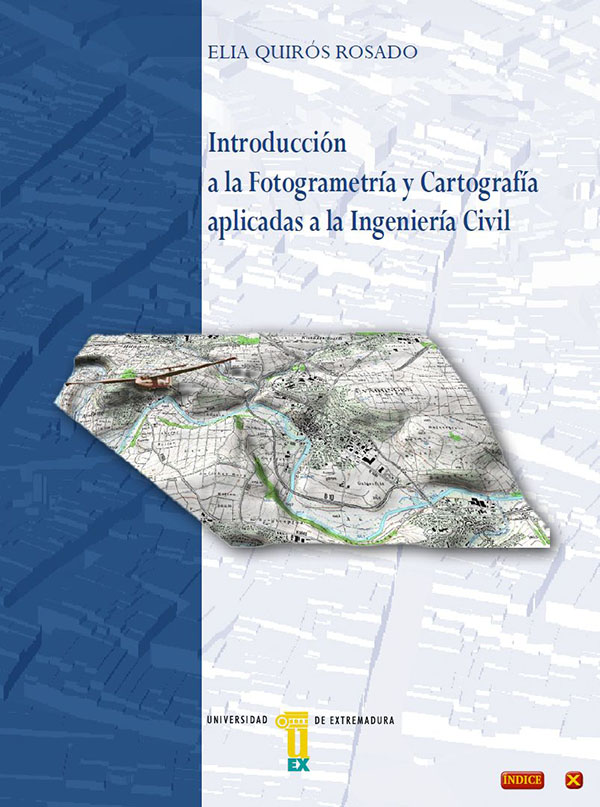
2018 Introduction to applied photogrammetry and cartography for civil engineering
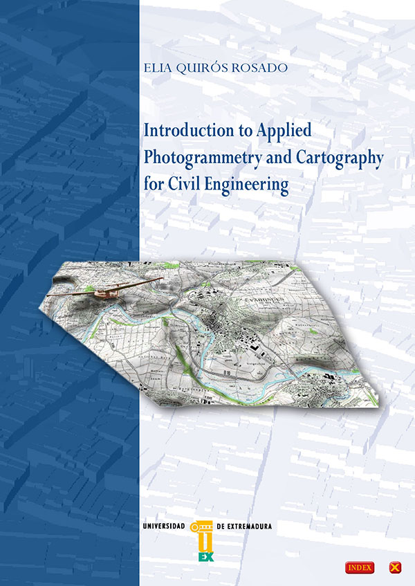
Quirós Rosado, E. Introduction to Applied Photogrammetry and Cartography for Civil Engineering, Universidad de Extremadura, Servicio de Publicaciones: Badajoz, 2018.
Disponible en http://dehesa.unex.es/handle/10662/7337
Civil engineers, throughout their careers, should handle cartographical information, which is mainly obtained by photogrammetry techniques. This work aims at practically introducing the digital aerial photogrammetry technique, with the purpose of sharing the methods used to obtain cartography to plan their work.
Mathematical formulation is not under the scope of this work, since, in my view, it has little to contribute to civil engineers and there exist very complex treaties aimed at more specialised readers in the field.
This short text begins by outlining some basic cartography concepts, focusing on reference systems, which are changing nowadays and should be known by civil engineers before working with cartographical data.
The text’s fundamental part focuses on digital photogrammetry, and by emphasizing once again on its simplicity, it aims at explaining, from my professional experience, all the work process from the moment when a photogrammetric flight is requested until digital cartography arrives into the hands of engineers to work on it, with its accuracies and precisions.
Therefore, this work is intended to provide help to civil engineering professionals when valuating and handling cartographical data which, to a greater or lesser degree, would be the basis for their work.
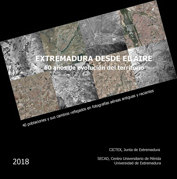
2018 Extremadura desde el aire: 60 años de evolución del territorio
2014 Introducción a la fotogrametría y cartografía aplicadas a la ingeniería civil
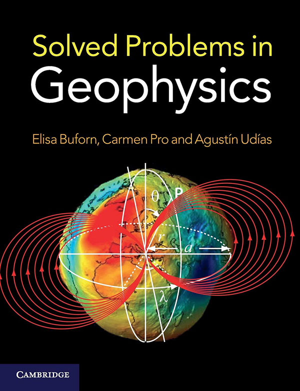
2012 Solved Problems in Geophysics
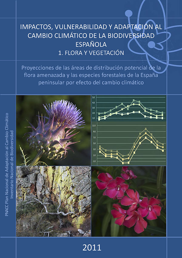
2011 Impactos, vulnerabilidad y adaptación al cambio climático de la biodiversidad española. 1. Flora y vegetación.
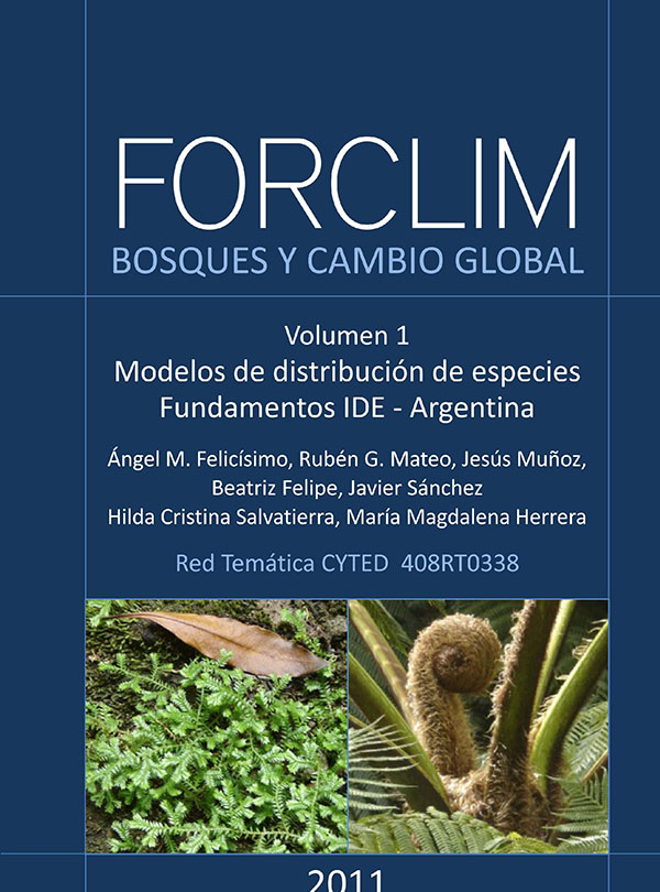
2011 FORCLIM, Bosques y cambio global. 1. Modelos de distribución de especies. Fundamentos de las IDE. Argentina
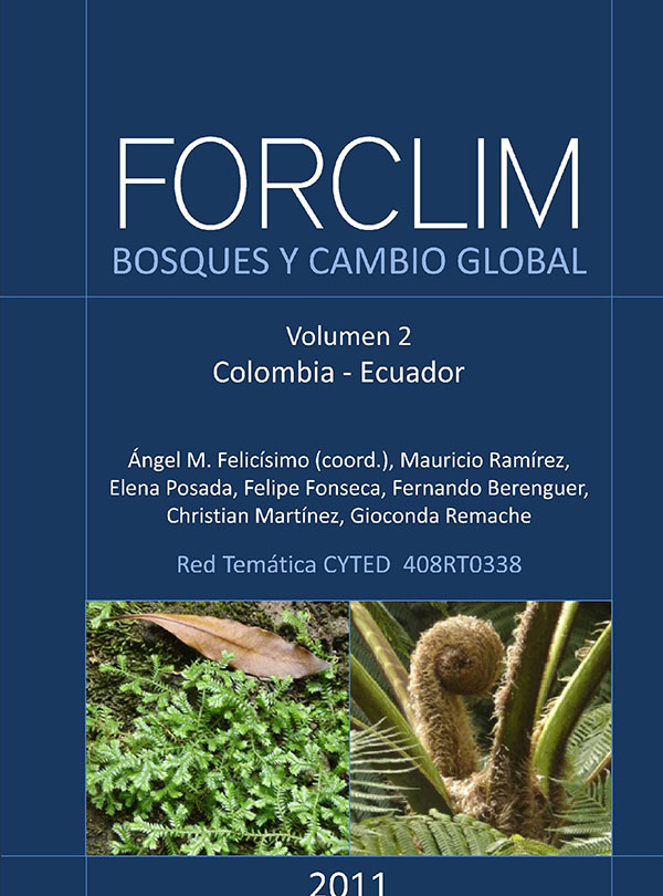
2011 FORCLIM, Bosques y cambio global. 2. Colombia, Ecuador.
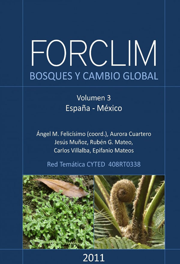
2011 FORCLIM, Bosques y cambio global. 3. España, México.
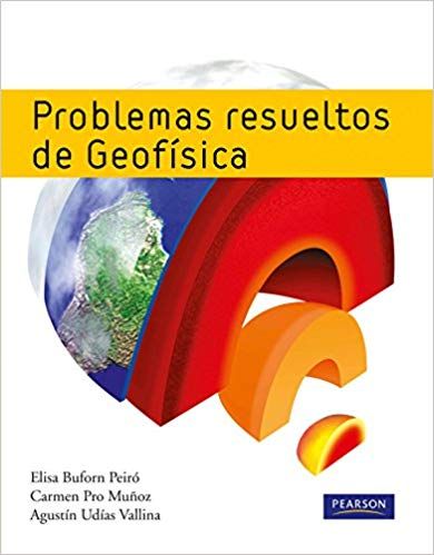
2010 Problemas resueltos de geofísica

